What Lies Beneath: Photographing Duncan Lake

What lies Beneath
A low-water look at the stumps, and scars of Duncan Lake
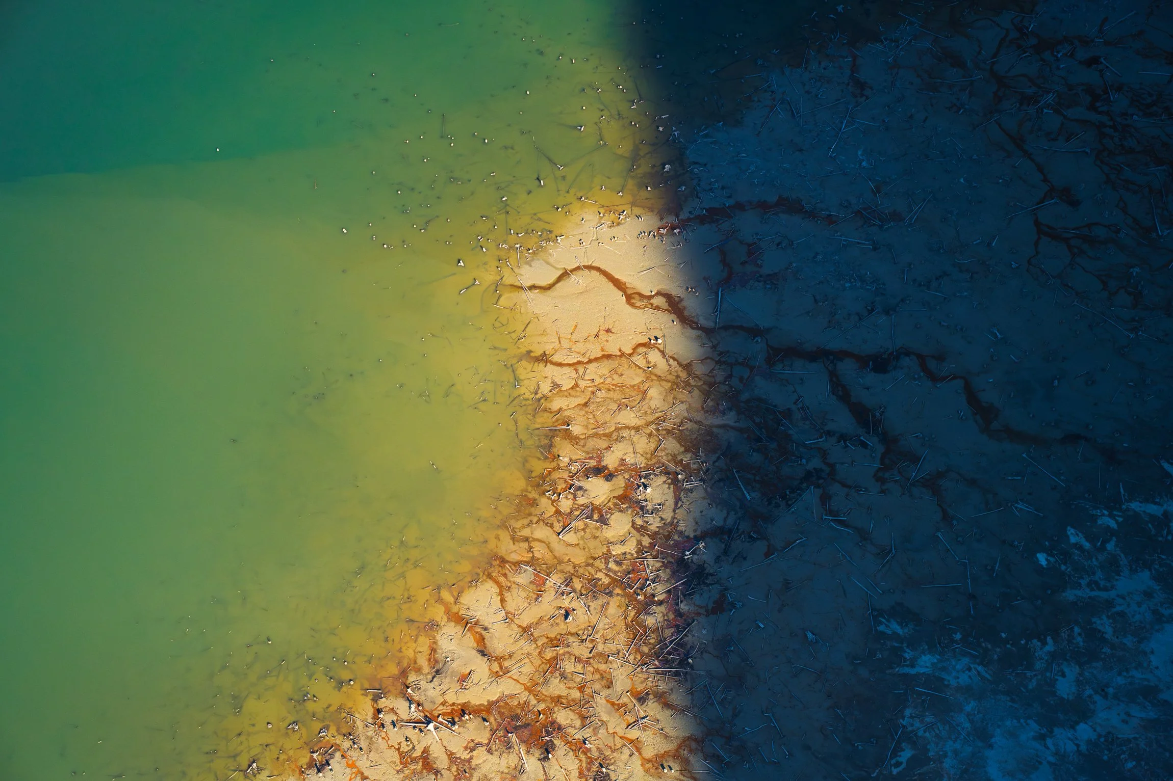
Nestled between the peaks of the Selkirk Mountains to the west, and the towering Purcell Mountains to the east lies Duncan Lake and the Duncan River. Earlier this Spring, I spent a few days capturing images of the area and taking advantage of the low spring water levels. As the water drops in early Spring, vast swathes of stumps are revealed across the mud flats. It’s far from my first visit, but it was my first time flying over the Northern Portion of the lake to capture a series of aerial photographs of the shapes and textures that emerge at this water level.
The following photographs were captured using a variety of angles, from airplane, drone, and on the ground.

Duncan Lake, British Columbia. The burn of the Argenta Creek Wildfire (2024) is visible on the foreground Mountain. Photo: Ashley Voykin

Stumps and Mud, on Duncan Lake. British Columbia. Photo: Ashley Voykin
Originally a lake of a much smaller size, the flooding of the valley in 1967 created the Duncan Lake Reservoir. It was the first in a series of dams constructed under the Columbia River Treaty, dramatically altering the landscape across the Columbia Basin. The stumps and fallen trees are a remnant of the forests that once spread across the now lakebed surface, before the completion of the Dam. For a more in-depth read on the subject, I enjoy the book “A River Captured: The Columbia River Treaty and Catastrophic Change” by Eileen Delehanty Pearkes.

Duncan Lake, Ground Detail. Photo: Ashley Voykin
Due to being dam controlled, the lake's water levels are held back in summer for downstream flood control. The landscapes I’ve captured lie deep beneath the water for part of the year, with levels rising and falling around ~30m annually.
Aerial Photograph of Duncan Lake, British Columbia. Photo: Ashley Voykin

Aerial Photograph of Duncan Lake, British Columbia. Photo: Ashley Voykin


Duncan Lake. Photos: Ashley Voykin

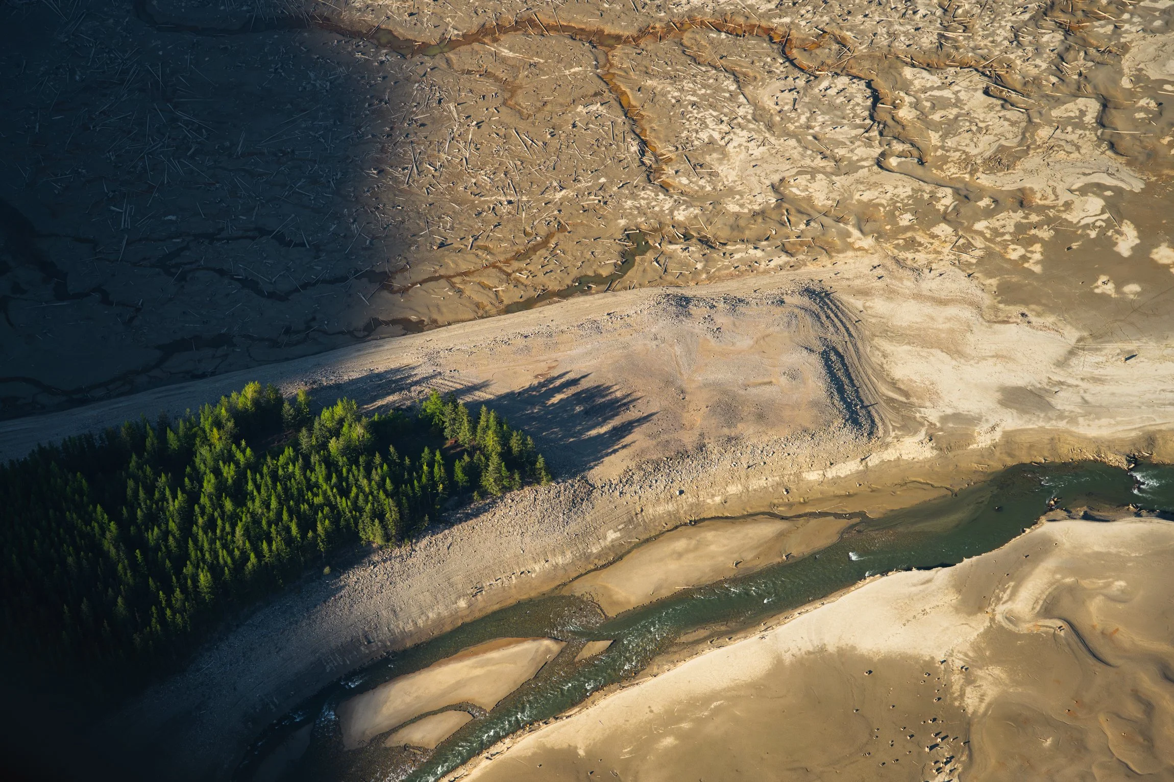
Howser Creek entering Duncan Lake, British Columbia. Photo: Ashley Voykin

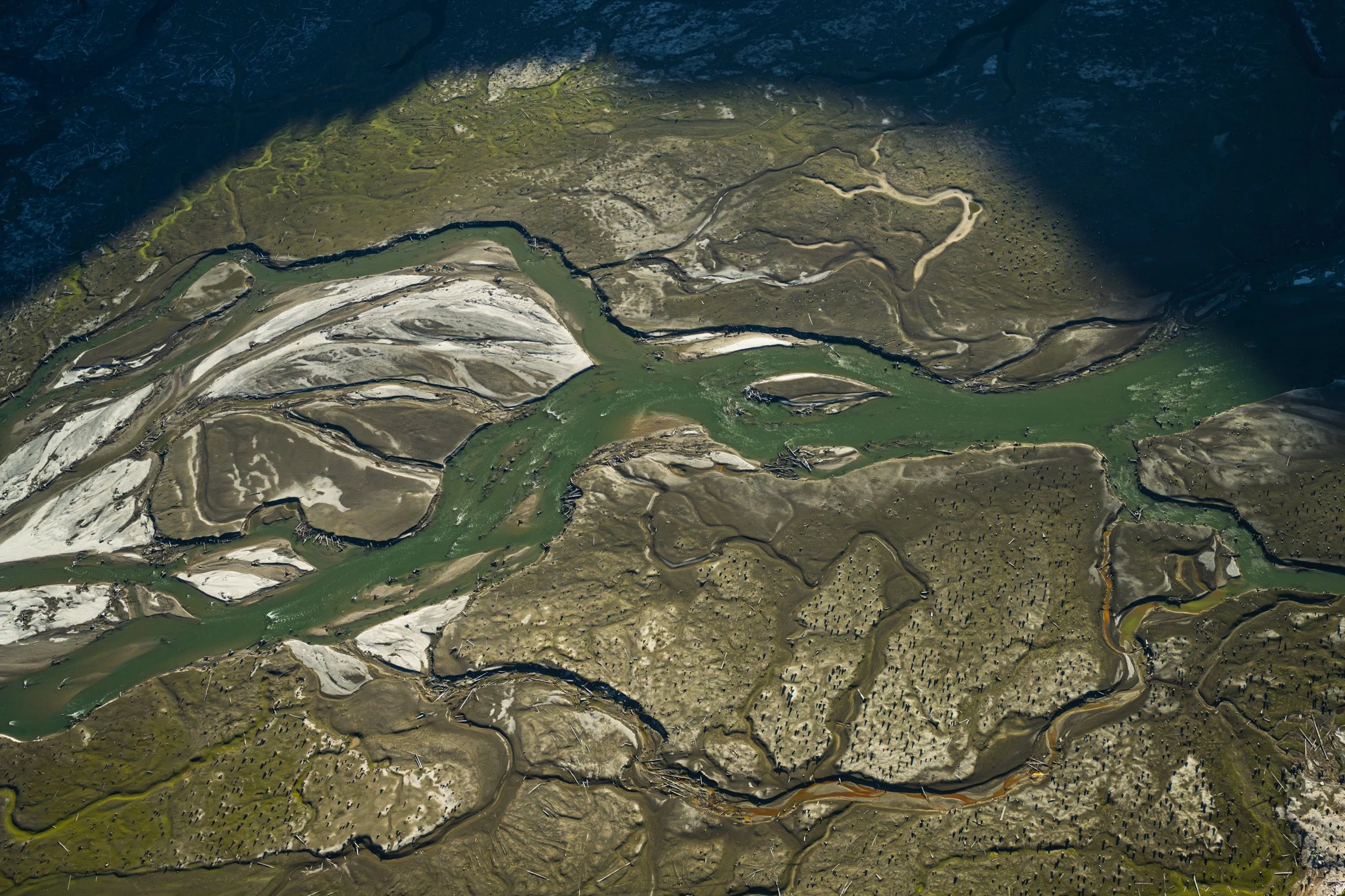
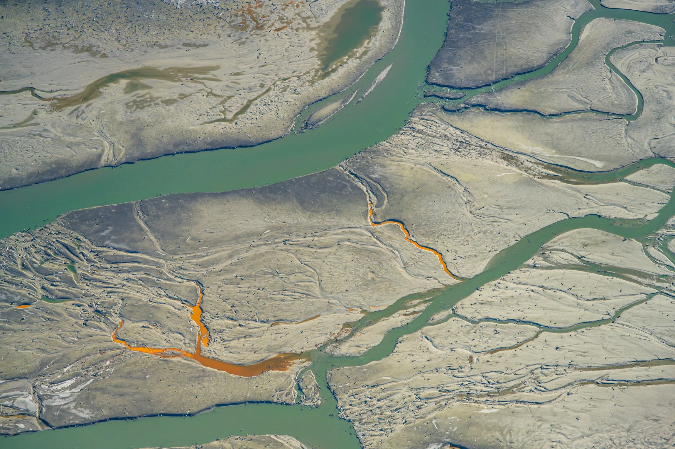
River braiding, Duncan Lake. British Columbia. Photo: Ashley Voykin
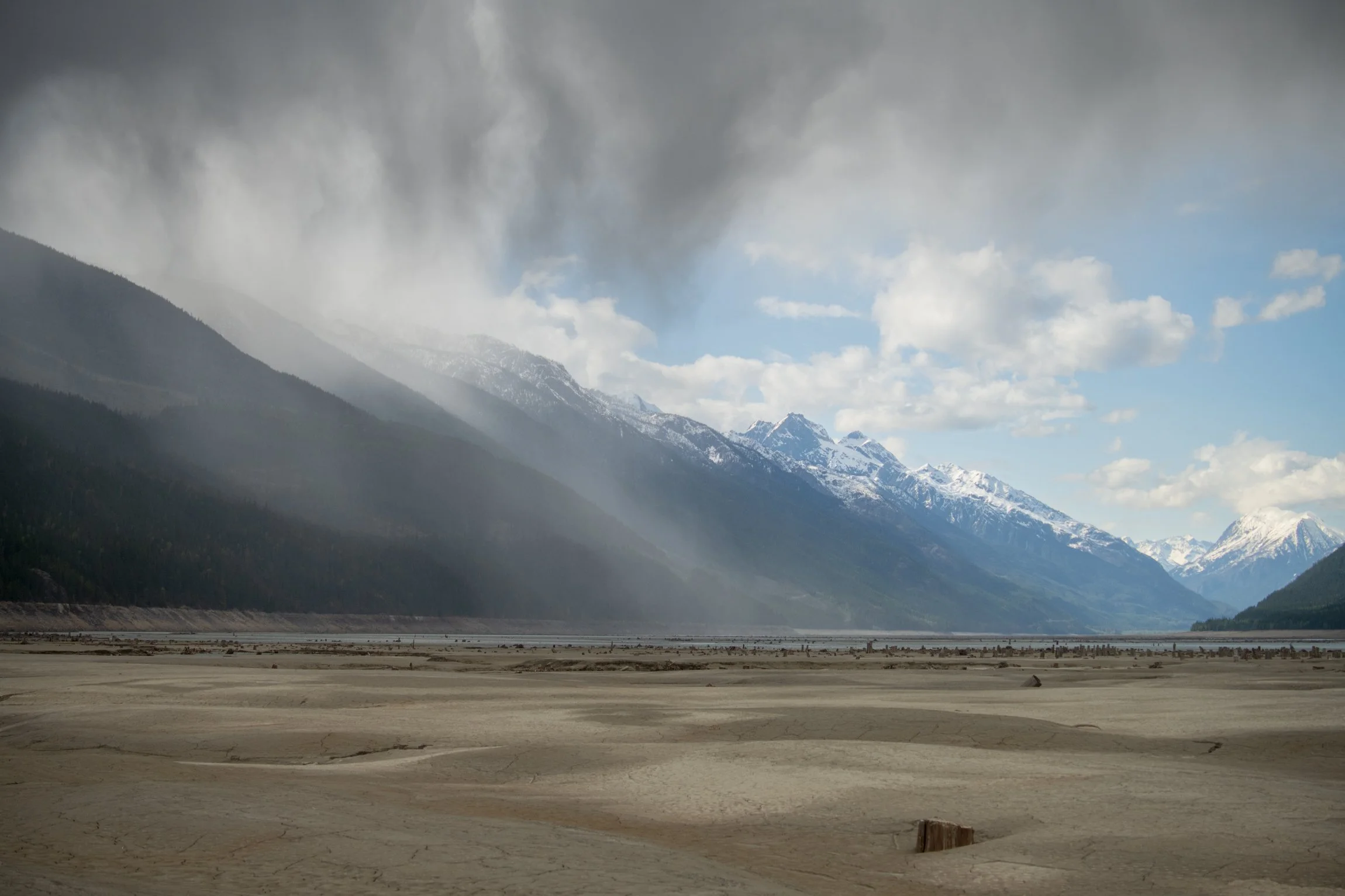
A storm passing over Duncan lake, British Columbia. Photo: Ashley Voykin
Aerial of Duncan River, British Columbia. Photo: Ashley Voykin

Howser Creek entering Duncan Lake, British Columbia. Photo: Ashley Voykin


Duncan Lake, in the Spring. British Columbia, Canada. Photo: Ashley Voykin

Duncan Lake, British Columbia. Photo: Ashley Voykin
Howser Creek, one of the main tributaries to Duncan Lake. Photo: Ashley Voykin
Aerial of Duncan Lake, British Columbia. Photo: Ashley Voykin
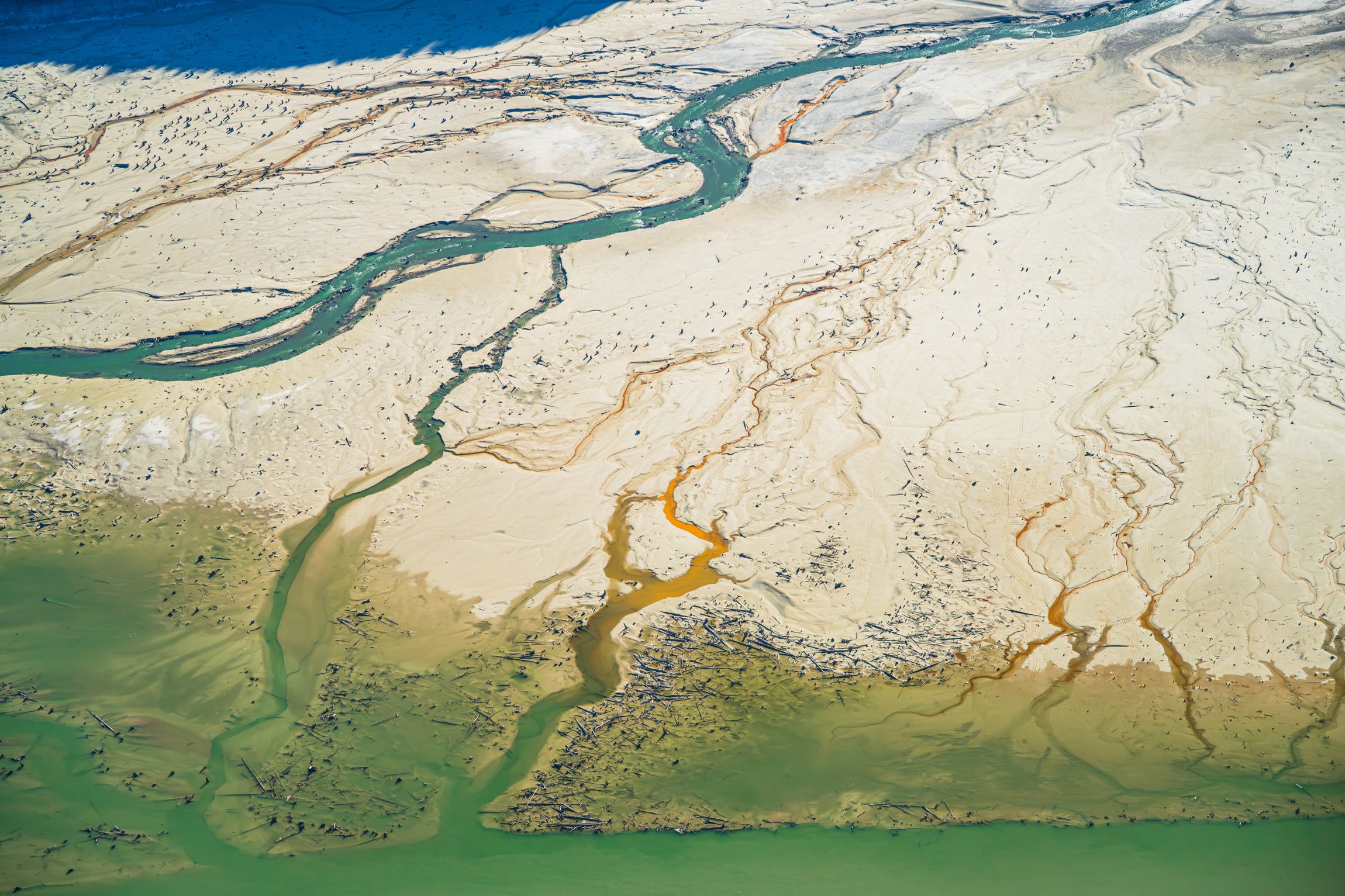
Aerial of Howser Creek entering Duncan Lake, British Columbia. Photo: Ashley Voykin
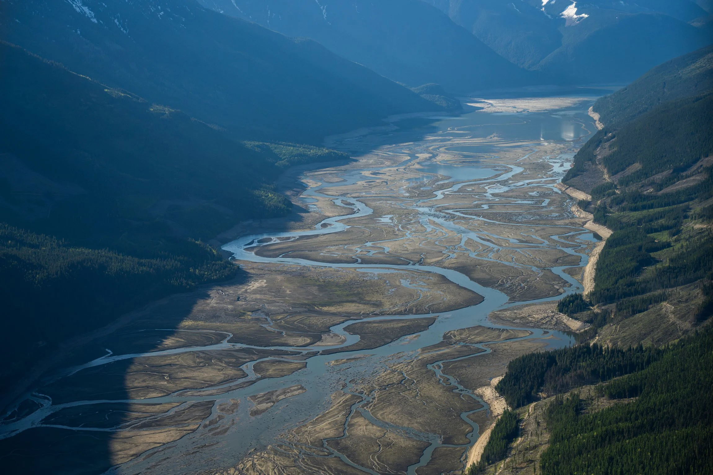
Looking down Duncan Lake, BC. Photo: Ashley Voykin
I also spent some time on the ground photographing the giant stumps from below. Walking among the towering remnants of the forest feels akin to a graveyard. It’s wild to imagine what these forests would have looked like before the transformation of the landscape. But as with any change, I believe that through photography, there are lessons to be learned about the places we call home; and beauty to be found in unexpected places.
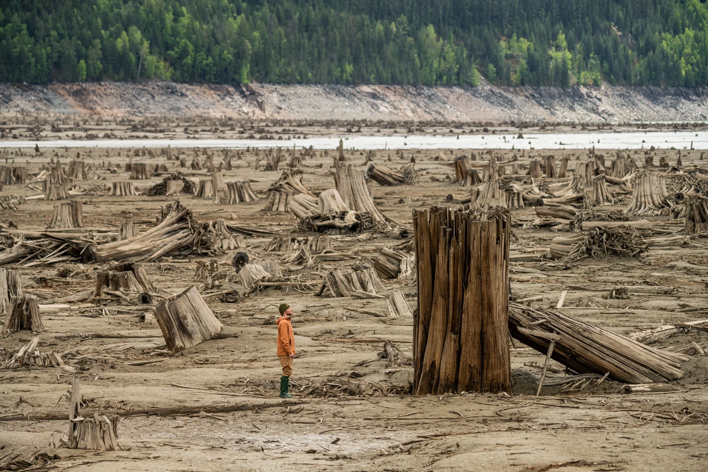
Large stump and Kole Harle, at Duncan Lake. British Columbia. Photo: Ashley Voykin
Duncan Lake, British Columbia. Photo: Ashley Voykin


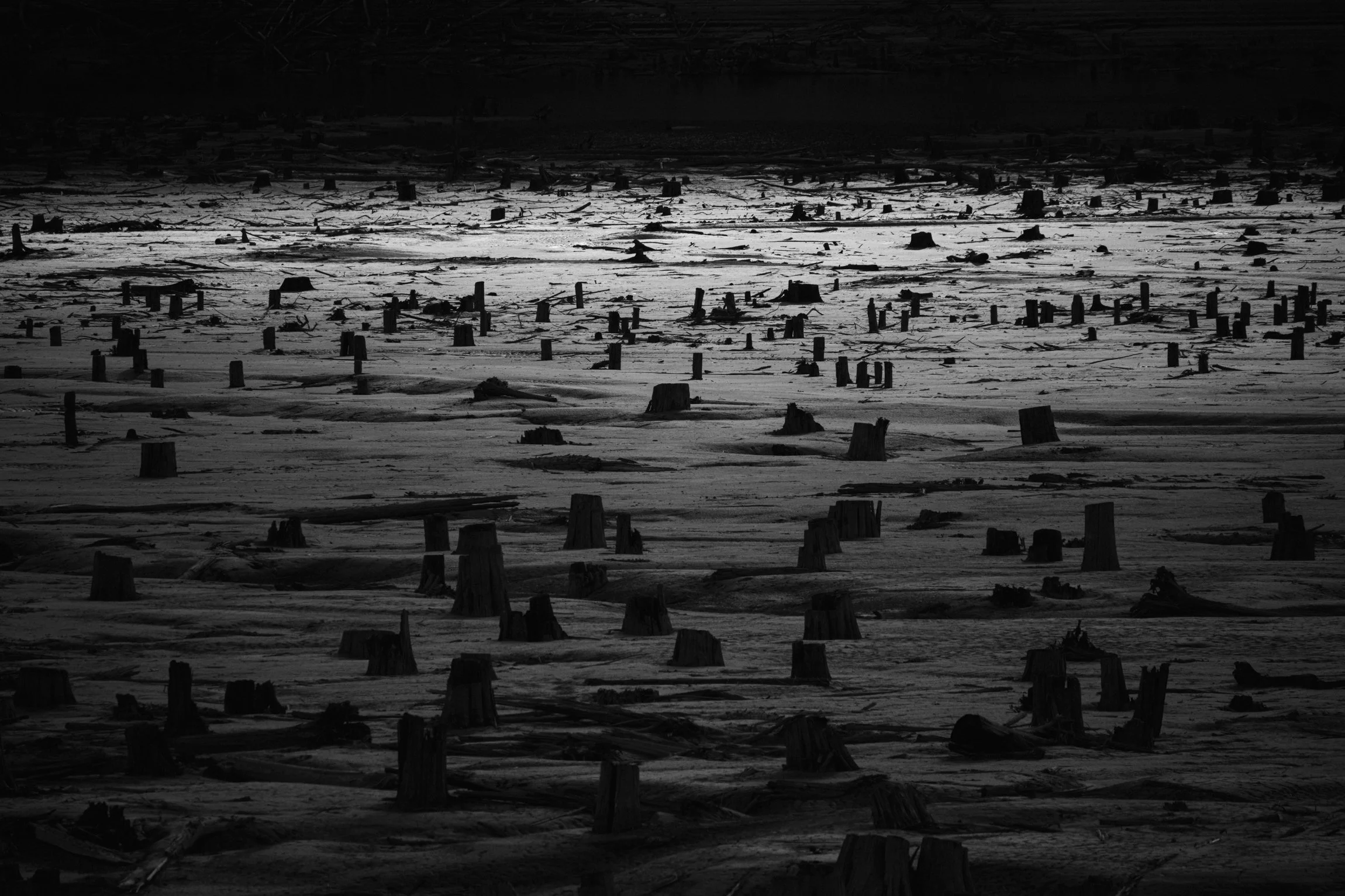
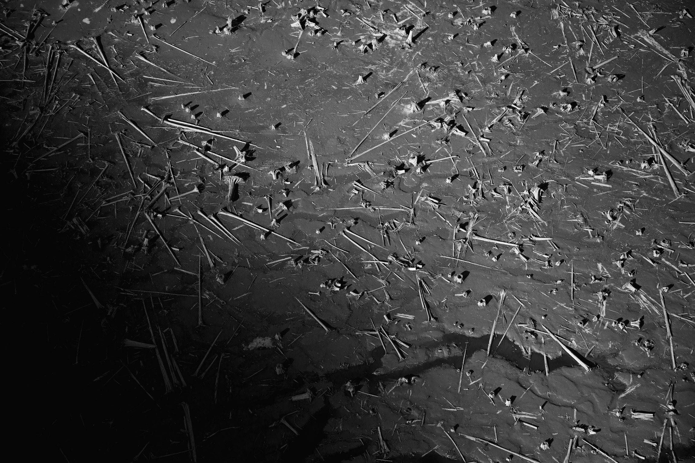
Duncan Lake, British Columbia in Black and White. Photo: Ashley Voykin
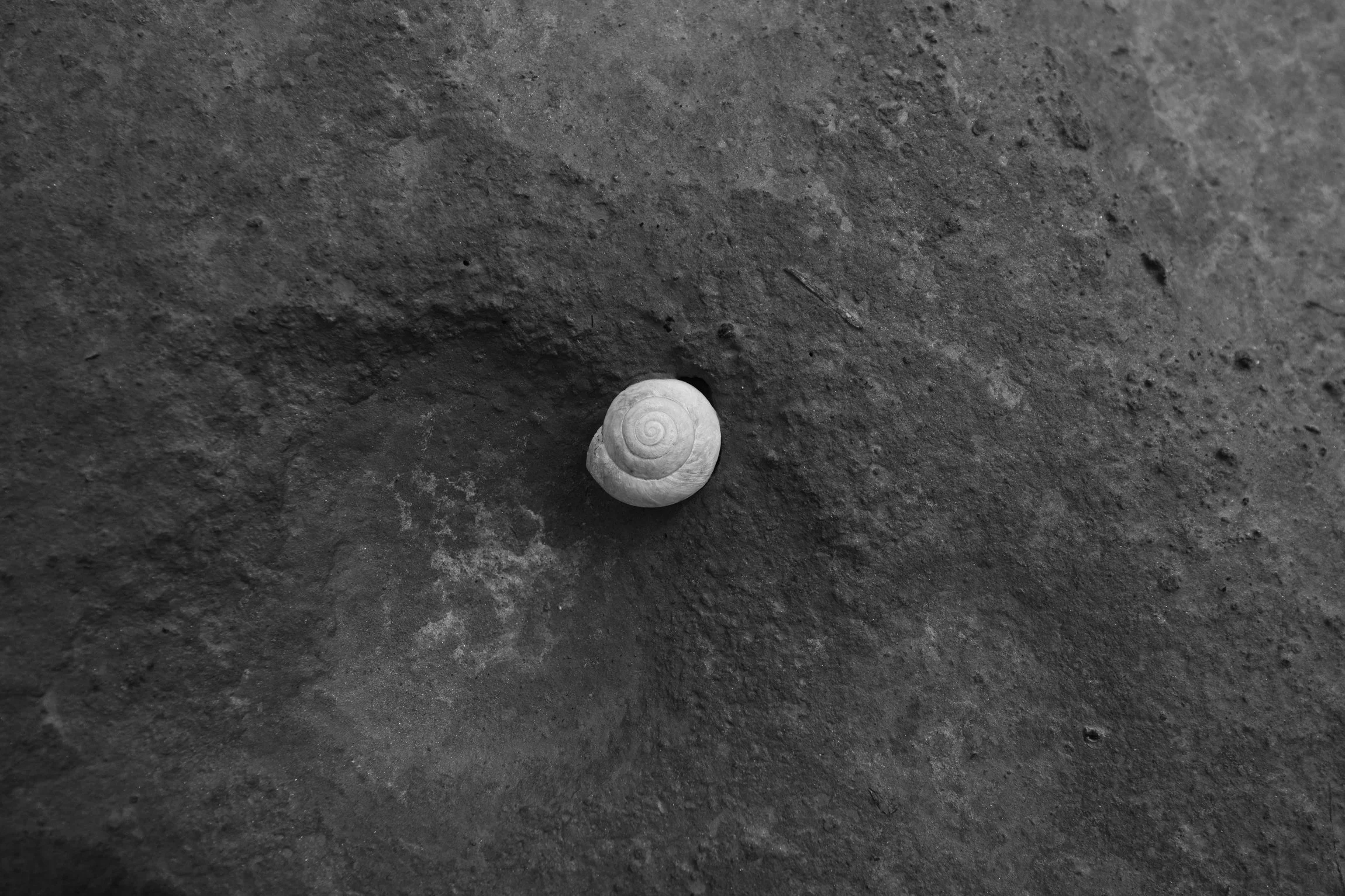
Dried Snail Shell. Duncan Lake, British Columbia. Photo: Ashley Voykin
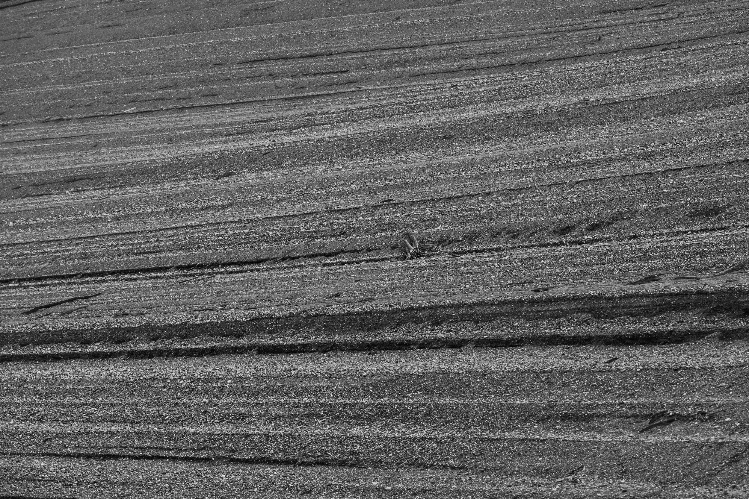
Sand layers on the shoreline of Duncan Lake, British Columbia. Photo: Ashley Voykin
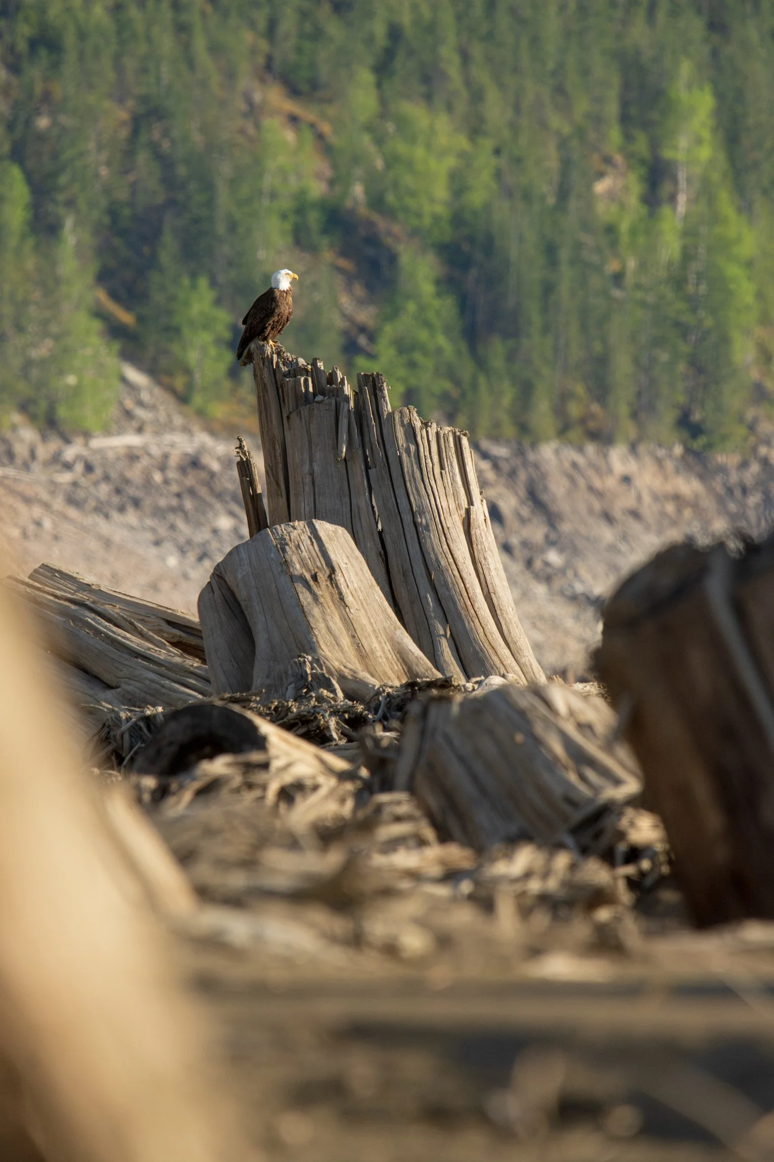
An eagle perched on the stumps of Duncan Lake, British Columbia. Photo: Ashley Voykin


The shoreline, and stumps on Duncan Lake. British Columbia. Photo: Ashley Voykin

Water of Duncan Lake, BC. Photo: Ashley Voykin
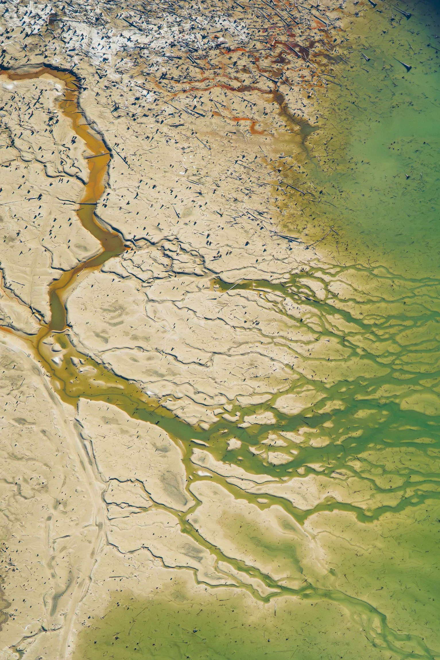
Aerial photograph of Duncan Lake Reservoir in the Spring. Photo: Ashley Voykin


River braiding on Duncan Lake, BC. Photo: Ashley Voykin
Logs and stumps on Duncan Lake, British Columbia. Photo: Ashley Voykin

Spring on Duncan Lake, British Columbia. Photo: Ashley Voykin

Stumps on Duncan Lake, BC. Photo: Ashley Voykin

Aerial landscape of Duncan Lake, British Columbia. Photo: Ashley Voykin
All above images are available as stock, reach out to info@ashleyvoykin.com for more information.