Flying High over the Kootenays: Second Edition
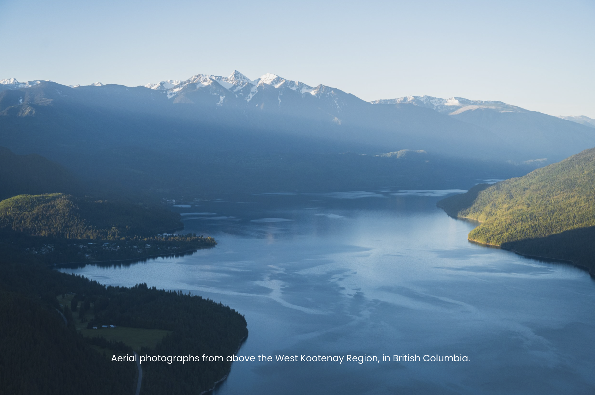
At the start of this year I released my first blog post “Flying High over the Kootenays”, which featured a number of aerial images that I’ve captured from the seat of a small plane. It was hard to narrow down the images, and since I’m always eager to share more from above, this second edition came to be.
This second edition includes a small set of drone imagery, with most images having been captured from small planes over the years.
I’ve been lucky to photograph a wide range of Kootenay terrain from the air- from alpine ridges to vast lakes- and this collection shares some of the shots that speak to me the most. I’ve always found it intriguing to capture our local landscapes from a rarely seen perspective, and the realm of aerial photography certainly fits into that.

Glacier textures in the Purcell Mountains of British Columbia, as seen from the air. Photo: Ashley Voykin
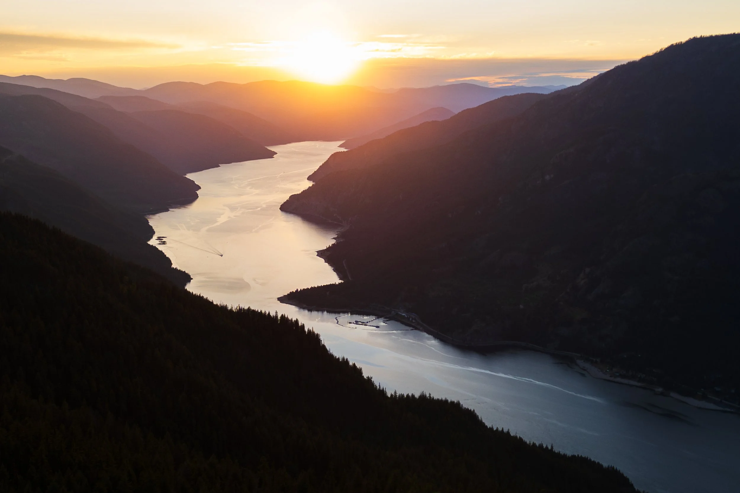
Sunset over Lower Arrow Lake near Castlegar, British Columbia. Photo: Ashley Voykin

The Kootenay River in Creston, British Columbia. Photo: Ashley Voykin
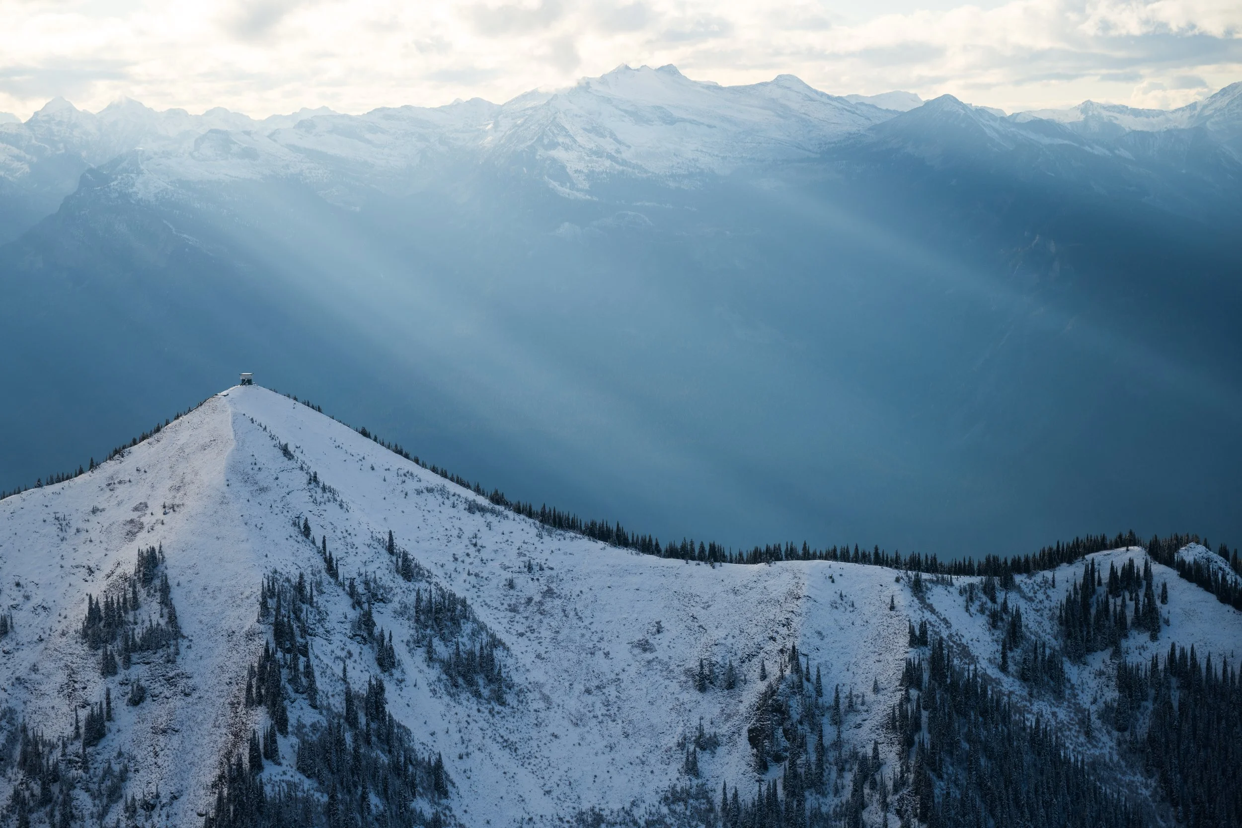
Idaho Peak Fire Lookout Tower, near New Denver, BC. Photo: Ashley Voykin

Devils Spire in Valhalla Provincial Park, British Columbia. Photo: Ashley Voykin

Marsh near Trout Lake, British Columbia. Photo: Ashley Voykin

Cottongrass in the subalpine of the Selkirk Mountains, British Columbia. Photo: Ashley Voykin
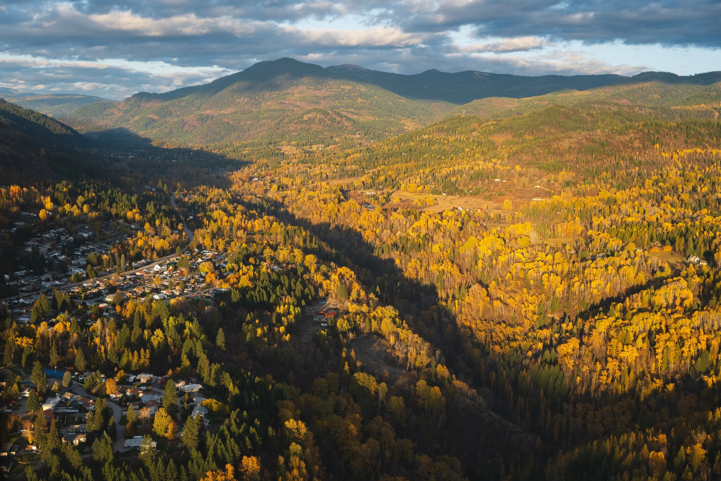
Montrose, British Columbia. Photo: Ashley Voykin

Purcell Mountains in Black and White. Photo: Ashley Voykin

Valhalla Provincial Park. Photo: Ashley Voykin
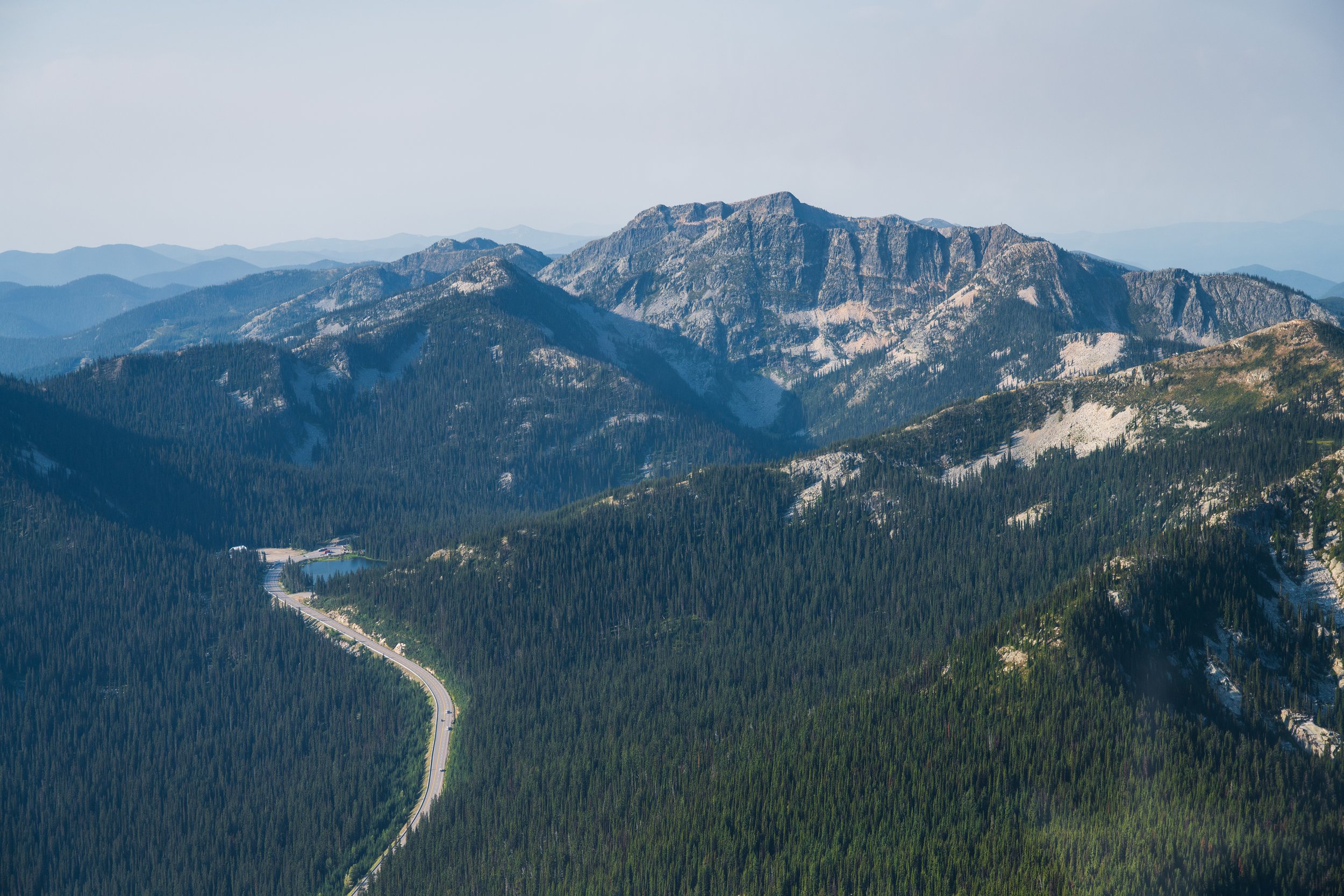
Kootenay Pass and Bridal Lake, along Highway 3. Photo: Ashley Voykin

Mt.Dag in Valhalla Provincial Park, British Columbia. Photo: Ashley Voykin

Valhalla Provincial Park, British Columbia. Photo: Ashley Voykin
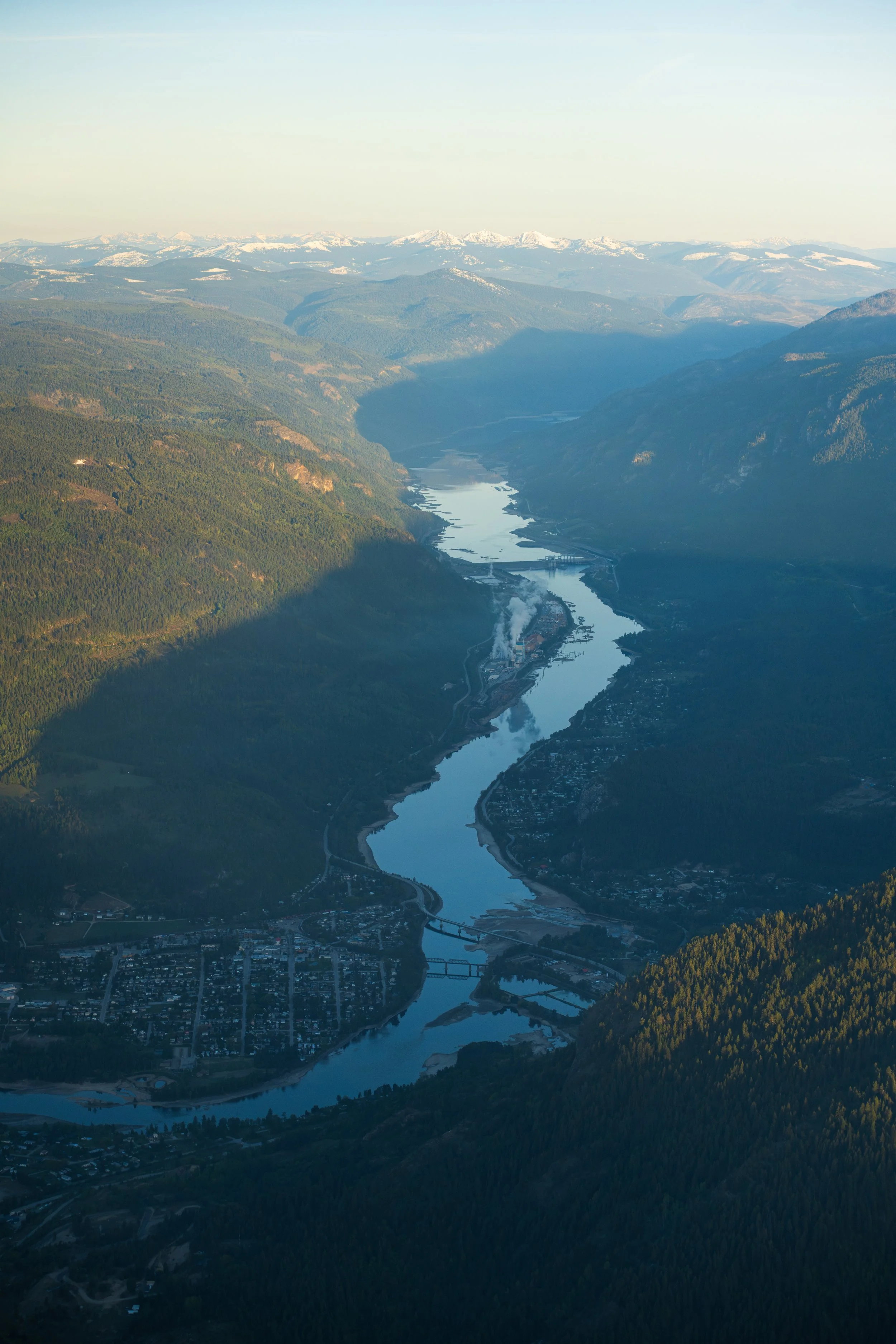
Castlegar, the Columbia River, and Lower Arrow Lake. Photo: Ashley Voykin

Paddle boarding on Slocan Lake, BC. Photo: Ashley Voykin
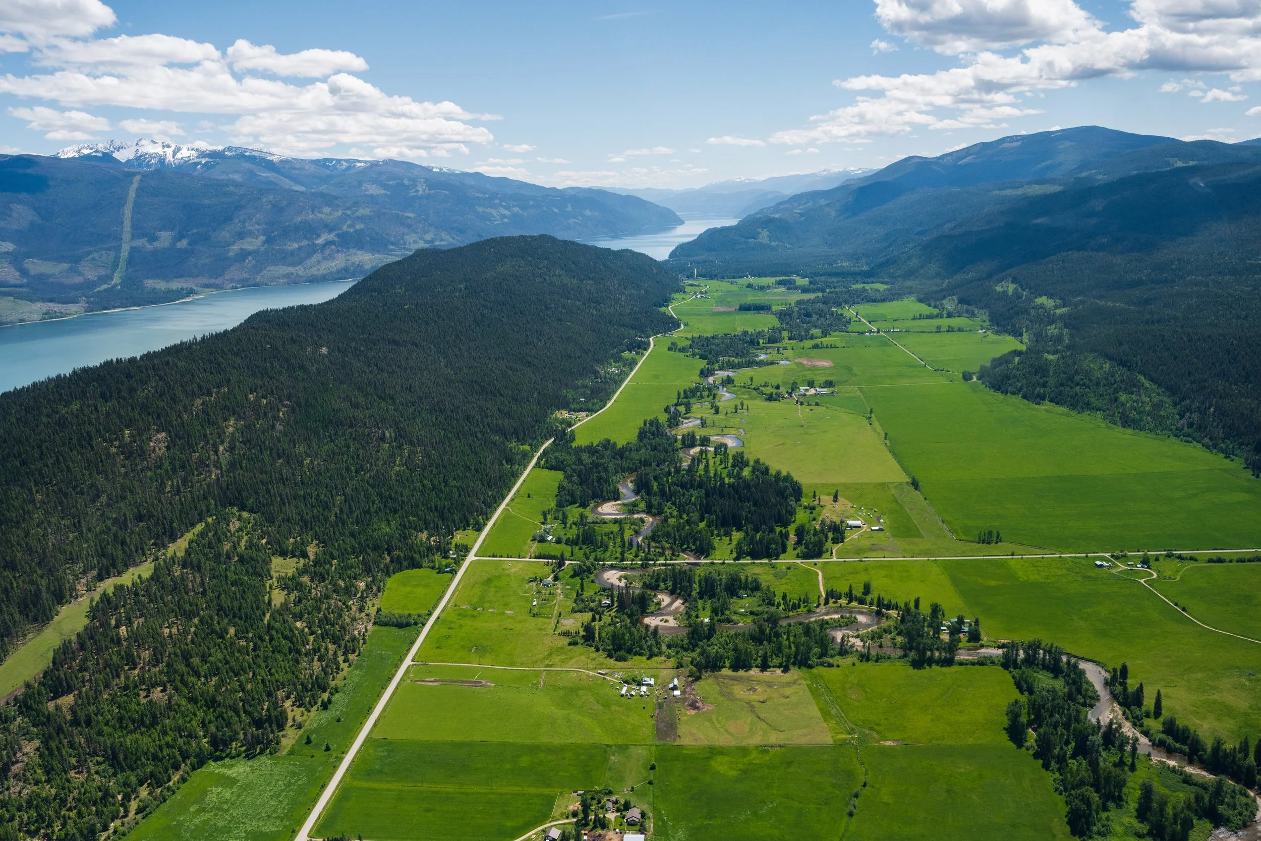
Aerial of Edgewood, British Columbia. Photo: Ashley Voykin

The community of Genelle and the sand bars, British Columbia. Photo: Ashley Voykin

Howser Spire, in the Purcell Mountains. Photo: Ashley Voykin
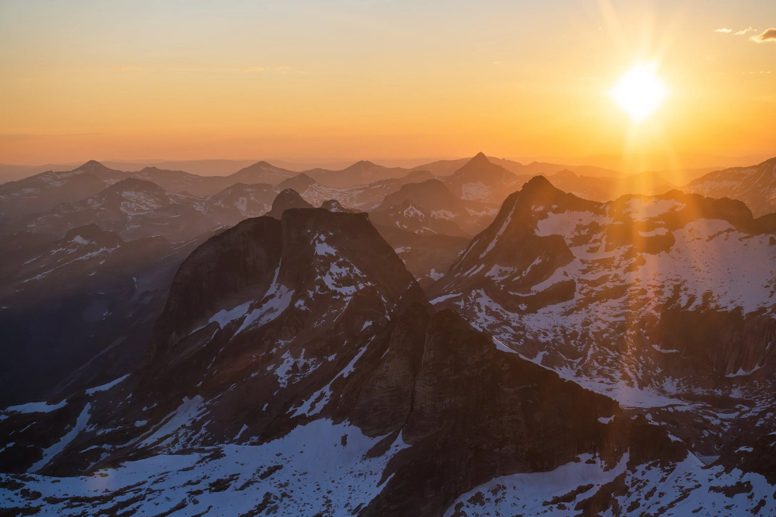
Sunset over Gimli Peak, in the Valhalla Range of British Columbia. Photo: Ashley Voykin
All above images are available as stock, reach out to info@ashleyvoykin.com for more information or fill out our form.